
No signal? Find the nearest place that has it.
LastBar is a map of where mobile phones have signal and where they do not, made by the phones of the people who use it. When you are stuck with no bars, it gives you the distance and the direction to the nearest place where your phone will work, and to the nearest water and shelter. It needs no connection to do so.

Free. No account and no sign-in. Android 8.0 and up. iPhone with iOS 16 and up.
- Readings
- 583,919
- Contributors
- 3,582
- Map cells
- 104,052
- Countries
- 55
Every trip fills in the map.
Carriers publish maps of the coverage they promise. LastBar shows the coverage that phones found, place by place and carrier by carrier.
Your phone maps as you move
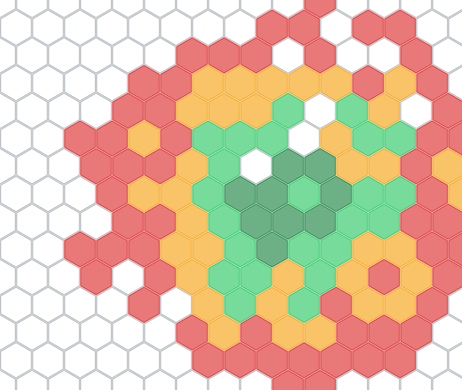
As you travel, LastBar notes the signal of your network every few minutes. Each place becomes a cell on the map: green where it is strong, red where it is weak, empty where there is none.
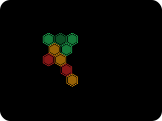
Works with no connection
What your phone measures shows on your own map at once, with no internet needed. Readings wait on your phone and go up by themselves when a connection returns.
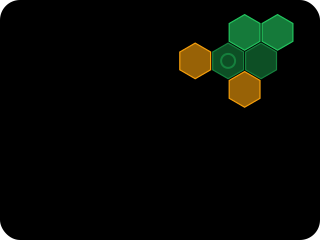
Find Signal points the way
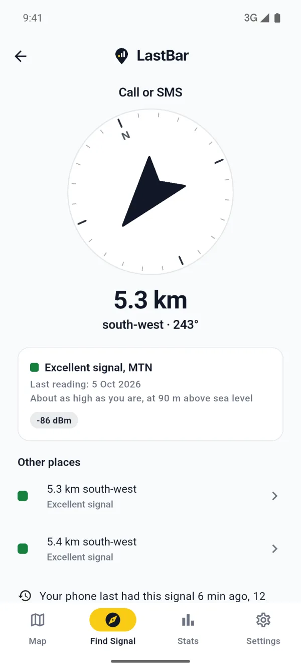
Stuck? Find Signal gives the distance and the direction to the nearest place with signal on your carrier, for an emergency call, a call or data. It works offline too.
Anonymous, and yours to stop
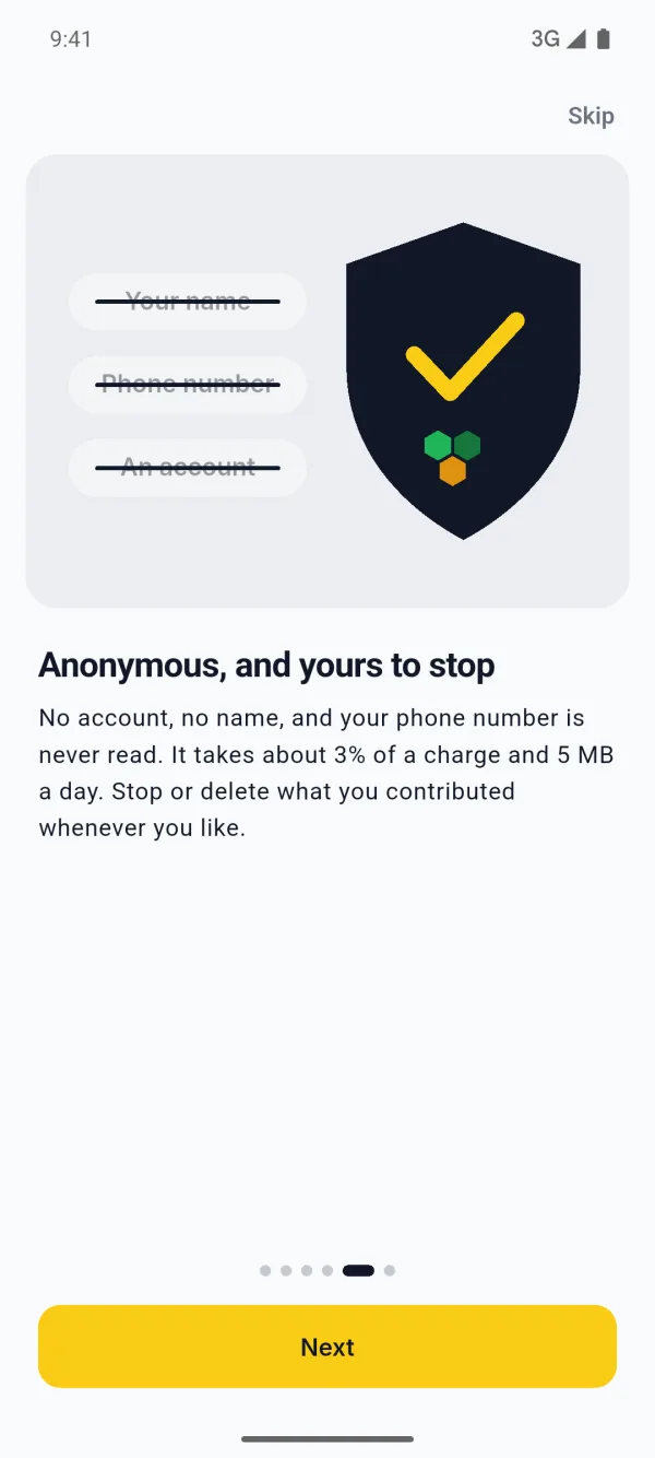
No account, no name, and your phone number is never read. It takes about 3% of a charge and 5 MB a day. Stop or delete what you contributed whenever you like.
Made for the places with no signal.
Those are the places where you need it most. The coverage around you is kept on your phone, and so are the map, the towers and the points of interest of any area you save before a trip.
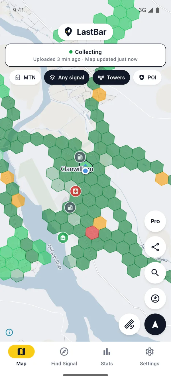
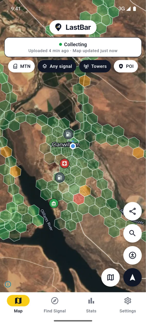
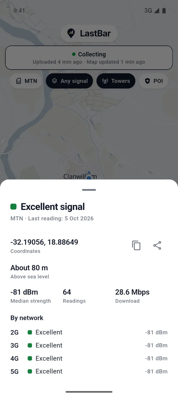
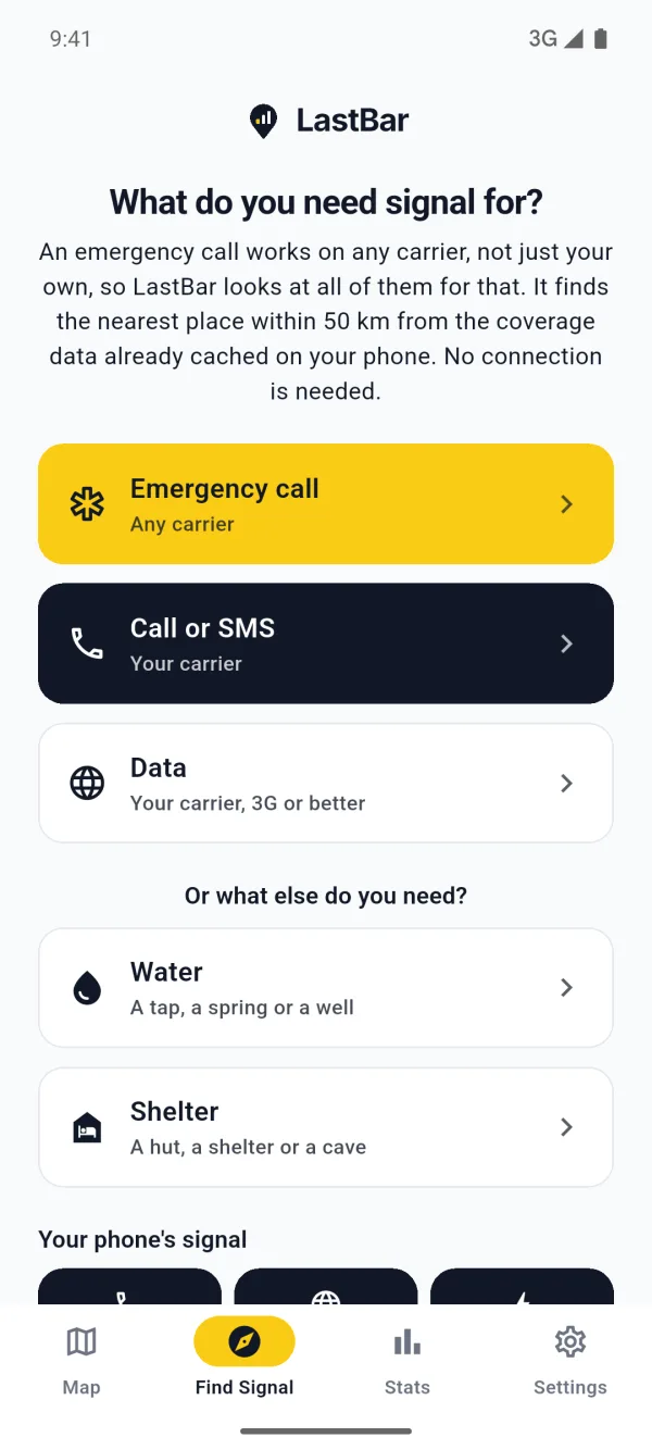
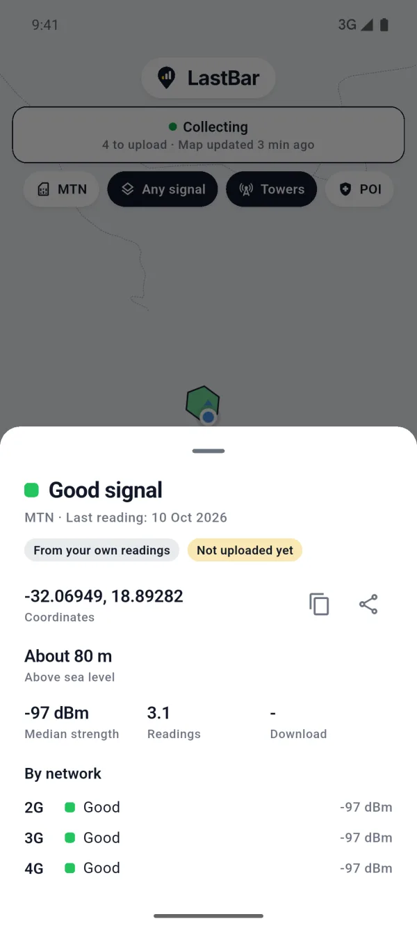
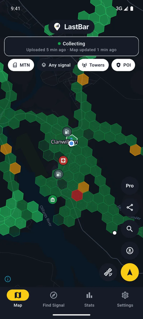
The coverage in these pictures was made up to show the app. It is not the coverage of the town in them. The filling stations, the clinic and the other points are real, from OpenStreetMap. The satellite pictures are EOxCloudless by EOX IT Services GmbH (contains modified Copernicus Sentinel data 2016).
Find more than signal.
Far from anything, the map shows water, shelters, huts and caves, clinics and hospitals, police, fuel and peaks, from OpenStreetMap. Tap one for its address and a number to call, where there is one. Find Signal points you to the nearest water or shelter too.
- Water taps, springs and wells
- Shelter shelters, huts, caves and camp sites
- Medical hospitals, clinics and pharmacies
- Help police, fire and ranger stations
- Fuel filling stations
- Landmarks peaks, saddles and trailheads
Free, and kept on your phone with the areas you save. Not every country has them yet.
A map you can read at a glance.
- Excellent
- Good
- Fair
- Weak
- No signal
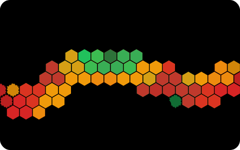
A map for every carrier
See the coverage of all carriers at once, or pick your own. Show any signal, voice, or data on 3G, 4G or 5G. Search for a town or a country by name.
Find Signal
Choose what you need: an emergency call on any carrier, a call or SMS on your own, or data. Or the nearest water or shelter. The arrow turns with your compass as you go.
Save an area before a trip
Take the map, the coverage, the towers and the points of interest of an area with you, to have them where there is no connection.
Your own readings
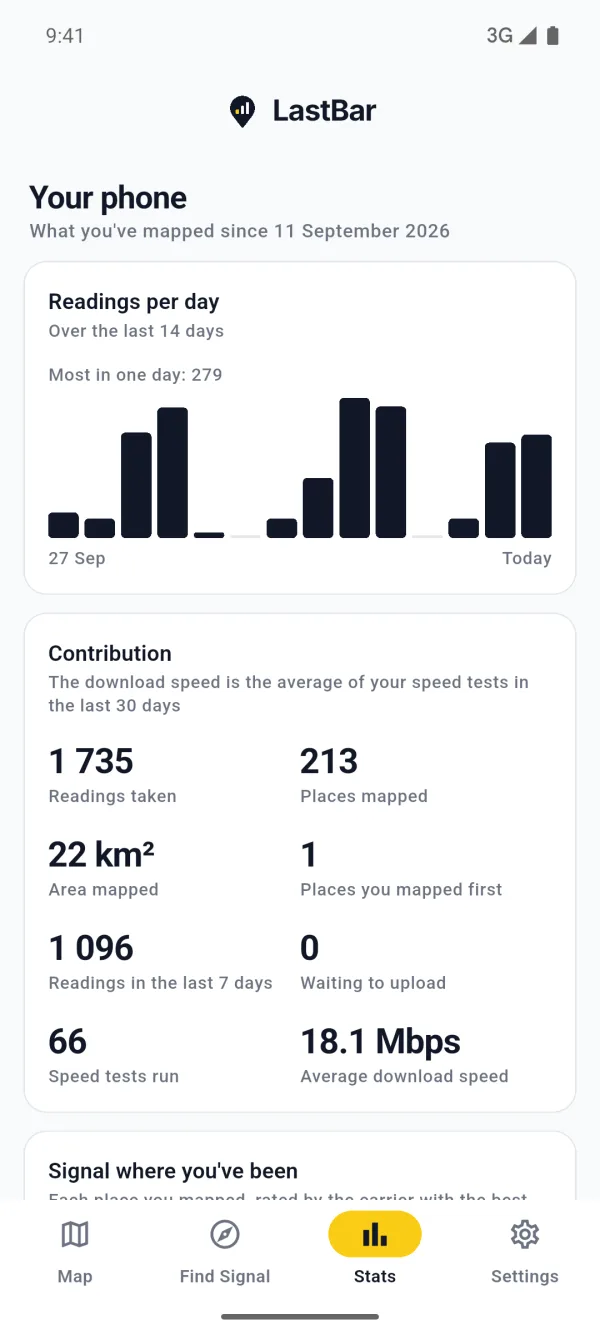
Every reading is kept on your phone first. Yours are marked on the map, so you can see where you have been and what you found there. The Stats tab says what you have mapped, day by day.
Light on battery and data
Choose how often it takes a reading, whether it collects in the background or only while the app is open, and whether it uploads on Wi-Fi only.
No account, no sign-in
LastBar never reads your phone number, your contacts or your calls. Readings are combined into map cells before anyone sees them.
Know where the last bar is, before you lose it.
Honest about what it is.
- The map is as good as its readings. Where nobody has been with LastBar yet, it is empty. There it can show the estimated position of towers instead, and says that it is an estimate.
- Coverage changes. A reading says what was, and not what will be. In an emergency, call your local emergency number.
- Water, shelter and the other points were mapped by volunteers. One may be wrong or gone, water is not always safe to drink, and not every country has them yet.
- Location in the background is your choice. LastBar collects location data to map mobile coverage along the way you travel, even when the app is closed or not in use. A notification shows for as long as it collects, with a button to stop. The map and Find Signal work without it.
- Free, with one small ad. A banner under the map, never personalised, and never on Find Signal. LastBar Pro, bought once, takes it away, adds the satellite map, lets you save ten areas instead of one and add water and shelter points, and fetches twice as far around you.
LastBar at your event, or on your trails.
Record the signal before anyone needs it. Walk or drive your event route, hiking trail or 4x4 route once with an Android phone recording continuously, at least 30 hours ahead, and everyone who has the app sees where the signal is on it, even with no connection.
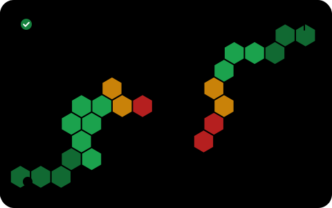
Ask your visitors to install LastBar.
A notice at the information office, the trailhead, the reception or the sign-in desk takes a minute to put up. A visitor who installs the app and saves your area there has the map of where the signal is with them offline, Find Signal to the nearest place a call will go through, and the emergency numbers of the country. It is free, with no account.
- Honest about what it is. It is no satellite messenger: where no network reaches at all, it can only show the way back to the last place that had one.
- Every phone helps. Android phones record as they go; iPhones can't record in the background, but use the map and Find Signal fully.
- A sign for the trailhead. The trails guide has a printable sign with a QR code.
PDF. Two pages of A4, for a notice board or the reception.
PDF. One sheet of A4 printed on both sides and folded to A5, to hand out.
Spread the word.
LastBar is free, and it gets better with every person who uses it. We've made some pictures & videos you can share on Instagram, Facebook, WhatsApp, and more, as well as a poster & booklet you can hand out - all free to download and use.
Download promo resources →
LastBar in one minute.
How the map is made, how Find Signal guides you to the nearest bar with no connection, and what else it shows. LastBar works worldwide, in every country and on every carrier, with real coverage measured by LastBar users there, and includes emergency numbers and points of interest specific to your country.
64 seconds, with captions. Read the script
LastBar is a free app that shows where your phone has signal, and guides you to it when you have none.
The carrier's map says you're covered. Out on the mountain, your phone often disagrees.
The app maps the signal your phone really finds as you hike, drive or ride, and adds it, without your name, to one shared map.
This is Table Mountain. Every hexagon is a spot where a phone measured signal: green is strong, red is weak. Around the city bowl there's plenty. On the back of the mountain and in its ravines, it weakens or goes away.
And it grows with every trip: the Cederberg, the Swartberg Pass, the Kogelberg, the Tankwa Karoo.
When you have no bars, Find Signal points you to the nearest spot where your phone, or someone else's, found signal. Distance and direction, even offline. And for an emergency, it shows the number to call.
It also shows water, shelters, clinics and police stations nearby.
LastBar is free on Google Play and the App Store. Put it on your phone before you lose the last bar.
Put it on your phone before the signal drops.
The map has to be on your phone before you need it. Every trip you take fills it in, for you and for everyone after you.